 photo: showpass
Route Planning and Navigation for Trail Runners
Why we picked it
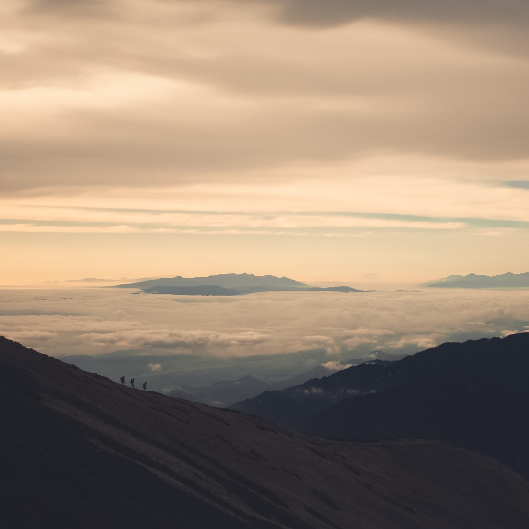
Some of the best days in the mountains start with a question: I wonder if you could link those two ridges/mountains/routes? The answer usually lives at the intersection of a few good resources, a healthy dose of trial and error, and a willingness to imagine the line before you go and find it. Join us at SkiUphill Canmore for an evening with Adam Mertens of Front Ranges as we walk through how to plan a trail run from the seed of an idea to the moment your foot hits the trailhead. This is a working session on the creative process of route building and navigation: how to weave the known and unknown together, how to lean on the wealth of community beta and digital tools at our fingertips, and how to set yourself up for routes that surprise you in the best way possible. We'll move through real routes from start to finish using the same tools Adam uses every week: Google Earth, CalTopo, Gaia GPS, FATMAP, Strava heatmaps, bivouac.com, and the guidebo
Last verified · Sourced from showpass


You found us through this show.
Let us find the next one for you.
Every Thursday: five picks like this one, chosen by a human who lives in London. Skip the scrolling.